


Road map of Slovenia, 1:250 000
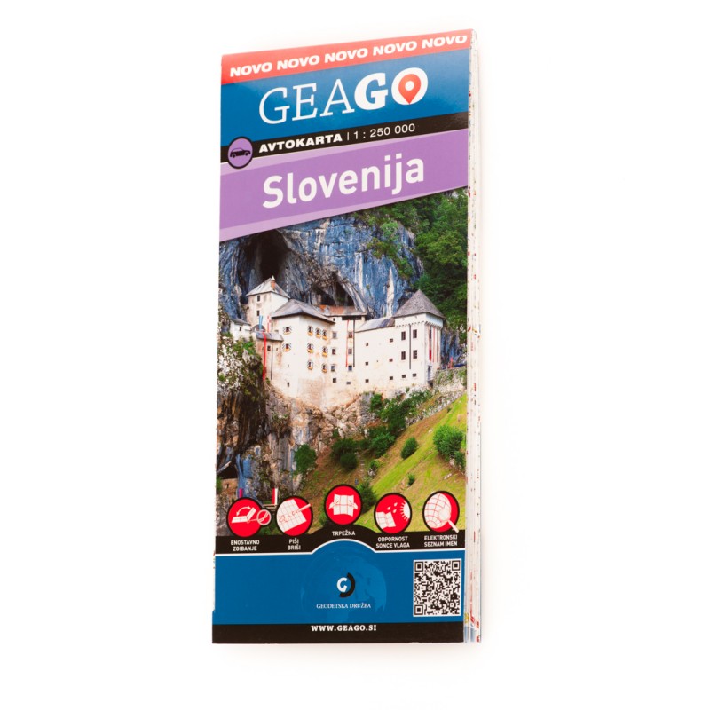
Folded format: 110 x 240 mm
Format: 1005 x 480 mm
Material: plastificated map
The road map shows the territory of the Republic of Slovenia and the territory of Slovenian minorities in the neighbouring countries.
The road network is categorized into motorways, expressways, main roads, regional roads, local roads I, local roads II, other roads I and other roads II. On the map the distances in kilometers between towns/cities and major intersections and markings (numbers) of roads are also inscribed. In addition to the road network as a basic element, the map depicts the rail network, waters, state border, border crossings, topography and other thematic elements such as gas stations, airports, ski slopes, caves, campgrounds, ferry and shipping lines, interesting natural and cultural attractions, national parks, marinas and other attractive tourist points.
The map was made in 2018. It is intended for route planning, trips and for the basic orientation on excursions around Slovenia and the surrounding area.
The map is laminated. Because of this the map does not tear, is very easy to fold, is not sensitive to moisture or sun and you can write on it and erase what you have written (write-wipe). On the back side is also a list of names.
